
1 / 5
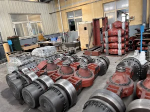
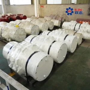
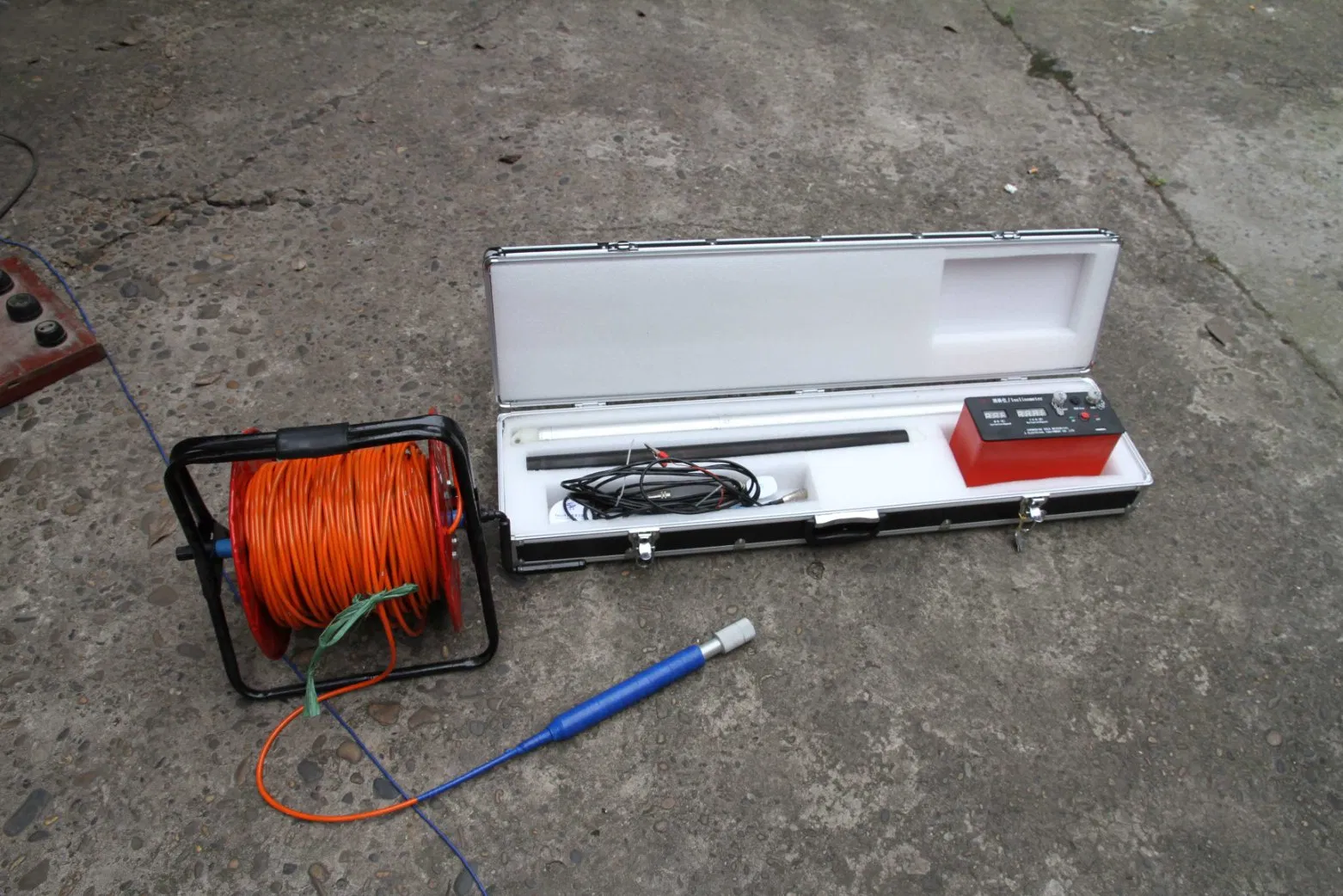
In the multidimensional calculus of subsurface engineering, raw coordinates only provide part of the picture; the true insight lies in understanding the direction and magnitude of spatial change. The JQX-2 Portable Digital Inclinometer System distinguishes itself as the analytical authority for subsurface vector analysis, transforming point-based measurements into a coherent understanding of directional trends and deformation vectors.
This instrument moves beyond basic surveying to provide a dynamic field analysis of spatial orientation, enabling professionals to model not just where a borehole is, but where it is heading, and how the surrounding geology is translating over time. Its value is derived from its ability to deliver directional derivative data—a crucial input for predictive modeling, finite element analysis, and sophisticated risk assessment protocols.
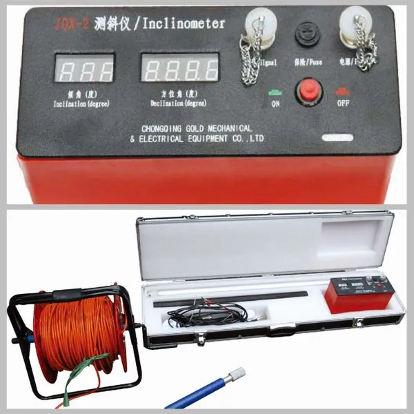
| Analytical Parameter | System Specification | Implication for Vector-Based Analysis |
|---|---|---|
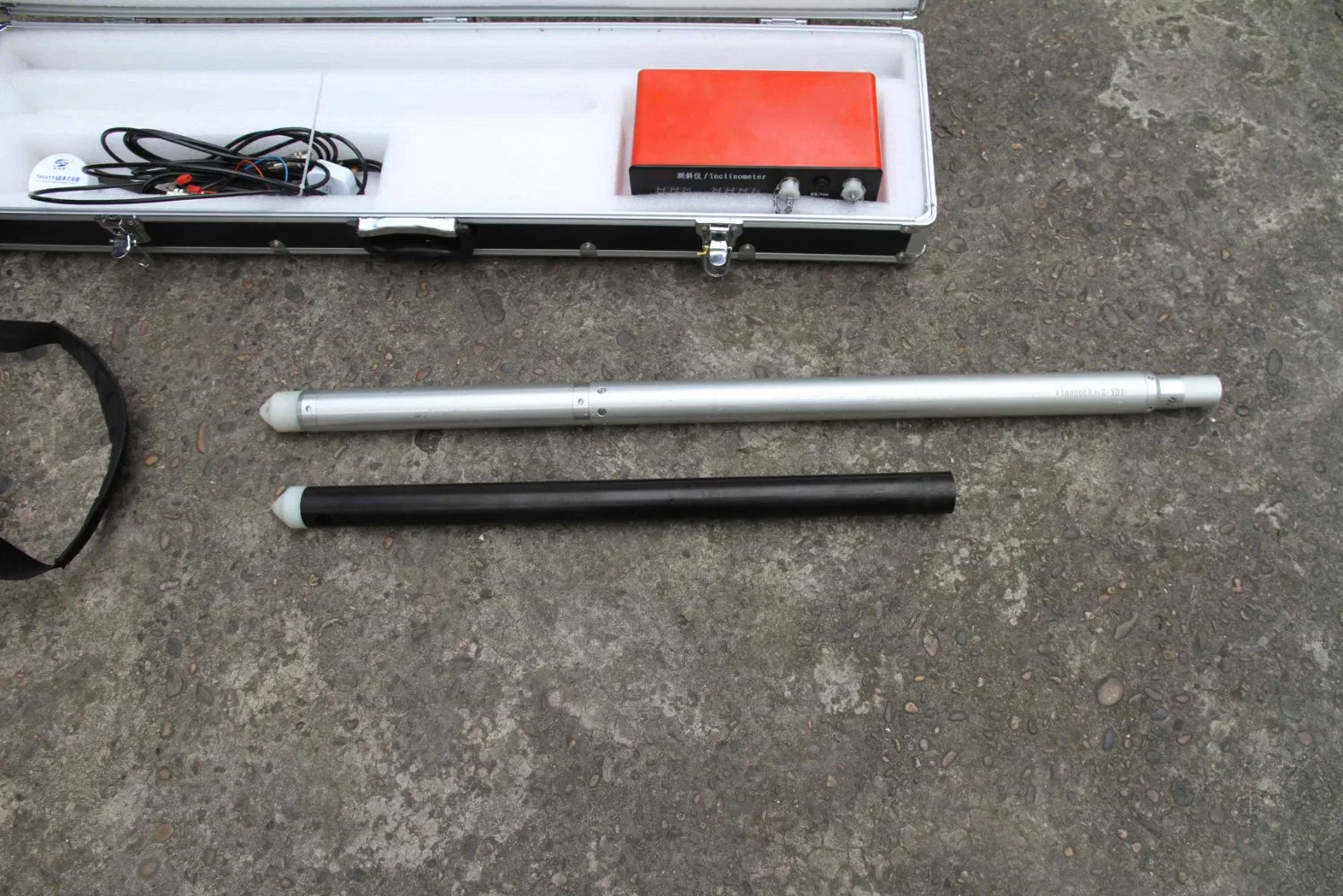
| Spatial Sampling Resolution | Configurable measurement interval (0.5m or 1.0m). | Determines granularity; finer intervals allow precise calculation of spatial derivatives and anomalies. |
| Angular Measurement Precision | 0.1° Inclination; ±4' Azimuth. | Foundational accuracy for derived calculations; critical for derivative analysis. |
| Sensor Stability | < 0.05° repeatability. | Ensures results represent true ground movement rather than instrument noise. |
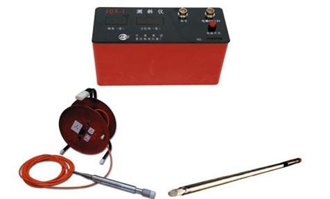
| Data Output Structure | Ordered triplets (Depth, Inclination, Azimuth). | Structured format required for computational algorithms to reconstruct 3D paths. |
| Environmental Envelope | 0°C to 85°C; 5 MPa pressure. | Maintains calibration across conditions, ensuring analytical consistency. |
| Probe Geometry | Φ42 mm, high straightness tolerance. | Minimizes tool-induced error (e.g., cable sag) to preserve dataset integrity. |